Building the next foundation model for Earth Observation
Fostering Advancements in Foundation Models via Unsupervised and Self-supervised Learning for Downstream Tasks in Earth Observation (FAST-EO)

Funded and supported by

Consortium members

The primary objective of the FAST-EO project is to enhance the accessibility and democratization of foundation models (FMs) within the EO community. This includes:
Define and develop an EO-specific Foundation Model
Specify and explore EO use-cases benefiting from Foundation Model
Develop AI4EO applications derived from Foundation Model
Assess impacts of AI4EO Foundation models and define Roadmap
Foster community development of EO Foundation Model users / providers
Discover our use cases
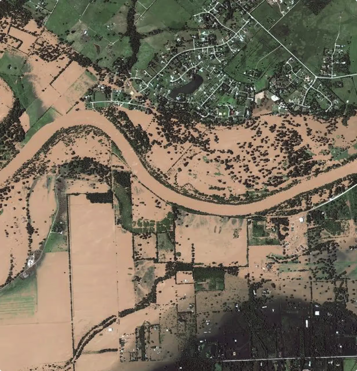
Weather & Climate Disaster Analysis
Fine-tuning of geospatial foundation models to improve disaster management and risk estimation.
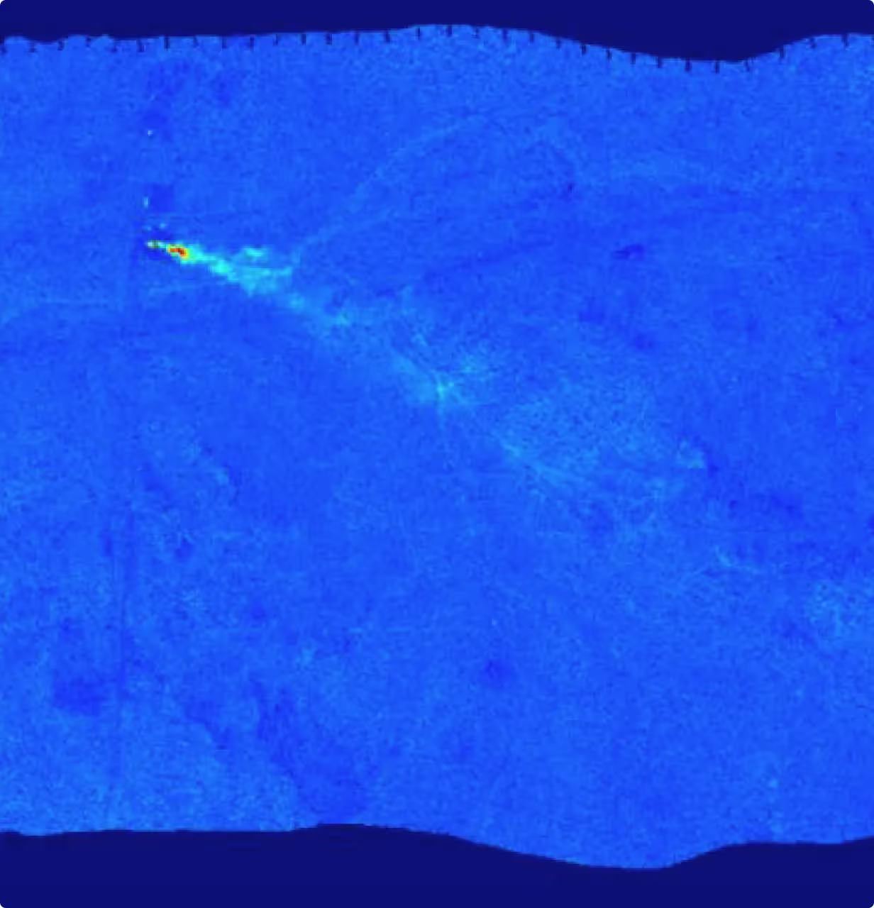
Detection of Methane Leaks
Fine-tuning of geospatial foundation models to identify methane leaks accurately.
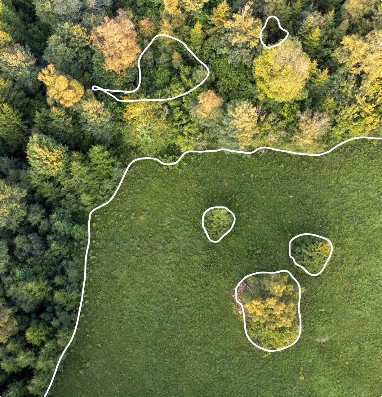
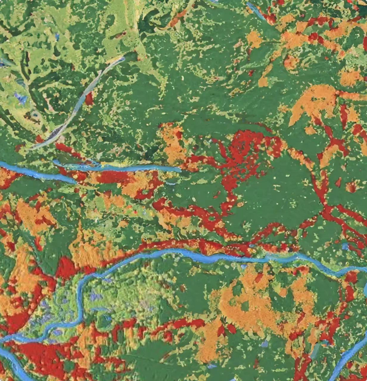
Observation of Changes in Forest Above-Ground Biomass
Fine-tuning of geospatial foundation models to retrieve and analyze forest metrics for supporting forest management and ecological monitoring.
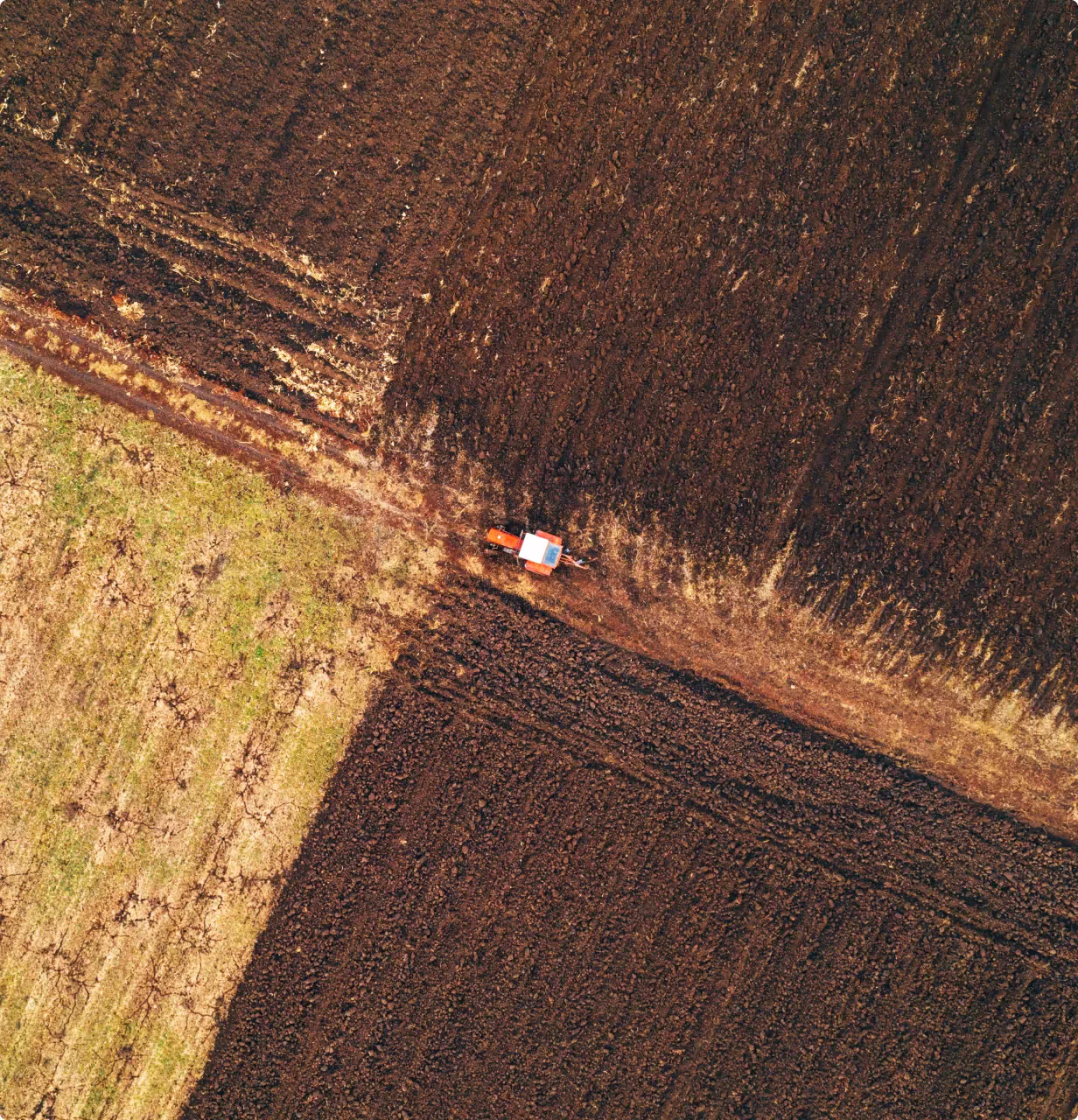
Estimation of Soil Properties
Fine-tuning of geospatial foundation models to determine soil properties over large areas more efficiently and accurately.
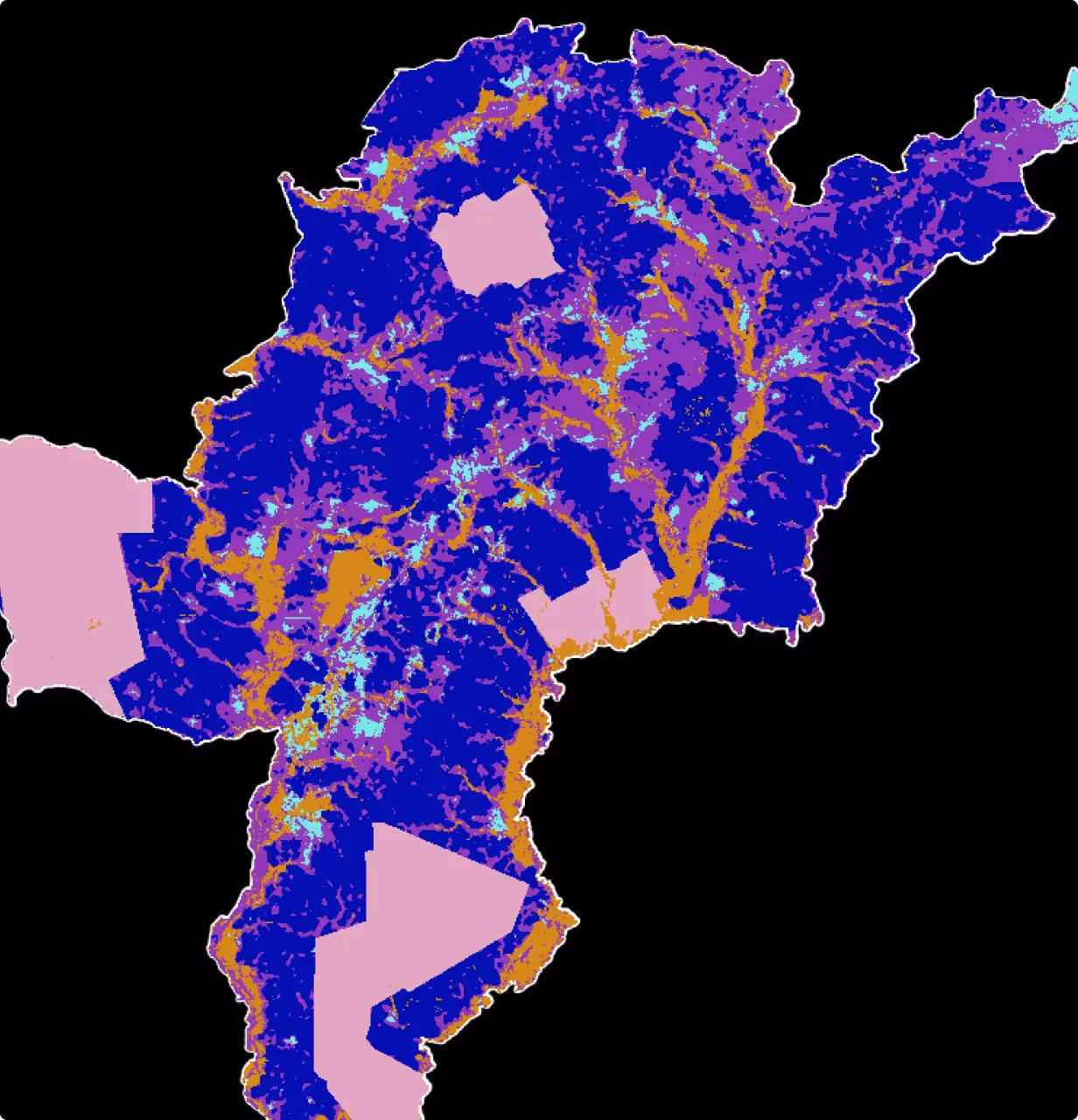
Detection of Semantic Land Cover Changes
Fine-tuning of geospatial foundation models to monitor dynamic changes due to human activities and natural disasters.
Monitoring Expansion of Mining Fields into Farmlands
Fine-tuning of geospatial foundation models to track and analyze the impact of small-scale mining encroachment on Ghanaian forests.
News
Catch up on the latest top stories and insights from FAST-EO


Events
Upcoming and past events relating to the objectives of FAST-EO